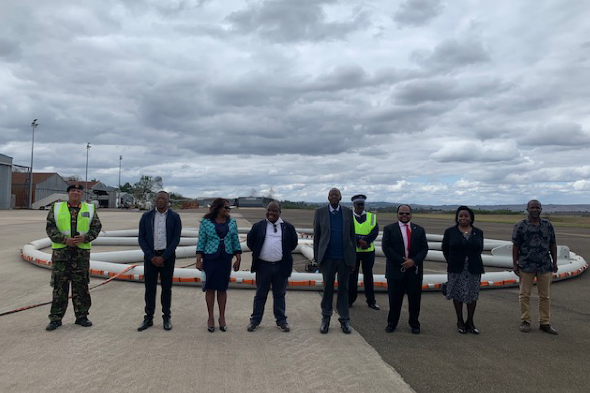
The Kingdom of Eswatini recognises the importance of geoscience in economic development. For this purpose, the investment has been made in collecting high-resolution geophysical data that will initially cover the north-western sector of the country. The Geological Survey Department (GSD) of the Ministry of Natural Resources and Energy of Eswatini, in collaboration with the Council for Geoscience (CGS) of South Africa, has commissioned a survey to map mineral potential and groundwater resources, among other things.
The Kingdom of Eswatini possesses geology that has significant potential for mineral resources, particularly the “minerals of the future”, and this work aims to characterise and highlight this potential in more detail. As one of southern Africa’s water-deprived nations, this work will also seek to inform the mapping and sustainable use of water resources.
As he launched the project, the Minister of Natural Resources and Energy, His Excellency, Honourable Peter Bhembe, alluded that this project forms part of the country’s Strategic Road Map 2019-2022 and identified the mining industry as one of the pillars for the economic recovery of the Kingdom. The geoscientific endeavour also aims to develop much-needed geoscientific skills in the Kingdom and will form the base for further geoscience mapping and research in the future.
Through the GSD, the CGS and the Ministry of Natural Resources and Energy have had a long-standing partnership in geoscience research, including specifically in the area of seismology.
For more information please contact the Head of Communication and Stakeholder Relations: Ms Mahlatse Mononela on mmononela@geoscience.org.za
Placerat, sem mi suscipit mi, at varius enim sem at sem. Fusce tempus ex nibh, eget vulpuAenean vel consequat risus.Proin viverra auris id enim id purus ornare tincidunt. nisi at nisl imperdiet auctor. Donec ornare,ex nibh, eget vulputate ligula ornare eget. Nunc fa st sed tincidunt placerat

